
The Alitak Cannery located in Lazy Bay is operated by Ocean Beauty a company from Seattle. Without a doubt the cannery is a great stop for cruisers. During the summer Woody is a popular and informative source of the area, the history, and petroglyphs. During the winter the cannery empties out of all the people except the caretaker and his family. Jamie, Sue, and Emma are wonderful people to get to know and if we would have stopped during the summer we might have not met them because Jamie runs the dock, Sue is in the office, and Emma is babysitting other kids that join their parents to work the summer at the cannery. Each night we’ve enjoyed wonderful dinners and fun conversation. We would like to correct that the cannery is best reached on VHF channel 79.
Walking around the facilities we could see the personality of the folks that work there; even though, they were not there. Everywhere you look there are fun art sculptures made of scrap and things that just washed up on shore. They have free Wifi at the office (easily reached by a WiFi amplifier), a museum, a small store, land line phones, laundry, and even a small church.
We look forward to learning more of the history behind the petroglyphs, so we ordered Woody’s book The Cape Alitak Petroglyphs: From the Old People. We took a half day hike with our guide Emma to the Petroglyphs and the abandoned gold mine. Besides seeing the Petroglyphs, the best part of the hike was the mile long walk on the beach and collecting treasures that washed up on the beach. We found two plastic bait pods for our crab and shrimp trap, a metal buoy ball, and pretty shells.
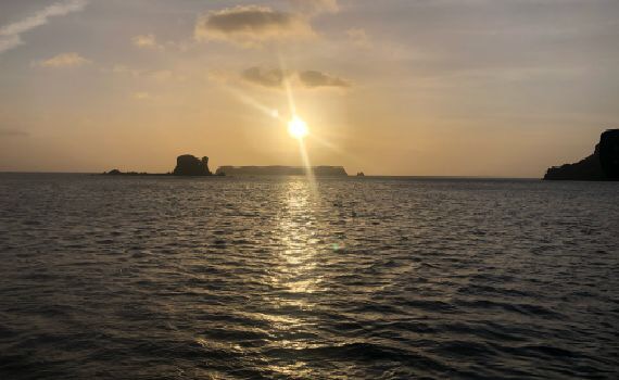
Tomorrow the weather is forecasted to blow 50 knots from the west to north west. After careful consideration we think that anchored in front of the cannery dock in Lazy Bay might be the safest place because the buildings will hopefully shelter us from the wind. We do not want to take the chance in other anchorages that could potentially williwaw. Today we are relaxing after our long hike yesterday and preparing for the wind tomorrow.
Cheers,
Wade and Sara
Cape Alitak Petroglyph Directions and Coordinates:
Our best advice is to always stop at the cannery to get directions and helpful local information. First and foremost…Beware of Bears! We could only image that during the summer the grass will be tall and bears can hide in the grass. There are many deer trails so hiking is fairly moderate.
1. Travel from the cannery in Lazy Bay through Rodman’s Reach. Be mindful to stay on to the left side as an underwater spit extends from the right side. Also we were told there is are uncharted rocks so motor carefully.
2. Check the tide. Recommended dinghy land is around 56 51.979’N, 154 17.824’W (56.8663167,-154.2970667) As the tide goes out from the dinghy landing area to the campground 56 51.069’N, 154 18.029’W (56.85115,-154.3004833) are mud flats and it is very easy to get your boat stuck.
3. From the campground facing 208 degrees there is a trail up a small hill.
4. At the top of the hill you’ll see a black sand beach. Walk to the other side of the beach and continue on a the same trail.
5. Follow the trail along the shore of steep cliffs. You’ll come to two small beaches (from an aireal prospective could look like a W) on your right and you’ll see the lighthouse marker (diamond divided into four squares two white and two red). Follow the rocks along the shore until you see a flat red/brown rock 56 50.717’N, 154 18.550’W (56.8452833,-154.3091667). There is a large rock that overlooks the Petroglyphs so you don’t have to walk on them.
Abandoned Gold mine coordinates are 56 50.878’N, 154 17.956’W and 56 50.861’N, 154 17.875’W. We followed deer trails and stayed on the hill ridges navigating between the Petroglyphs and the Gold Mines, but the actual mines are in the valley.

